
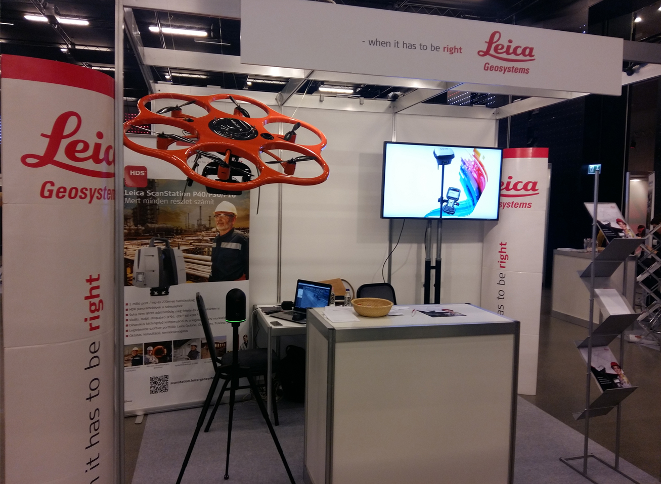
This fall the Swiss Business Day took place in the Castle Garden. This event is held every two years where Swiss-related businesses and institutes open the door to team building and sharing experiences. On the conference themed Innovation and Talent, naturally, Leica Geosystems Hungary took part with interactive presentations and an exhibition of instruments. The new Leica BLK360 Imaging Laser Scanner was introduced, which captured the conference room’s 3D structure during the opening speech.
The survey can be found on the following online database, for a limited time only:http://truview.emea.leica-geosystems.com/site/5a1c1b78041d5d5cd3d94dfd?tab=sitemap
How does the database work? Why is it more than a simple panoramic view?
After clicking on the link above, the data collected from the conference room can be seen. The different shades reflect the objects’ relative height (red: low objects like the floor and the stairs; blue: upper objects like the timber or partition wall).
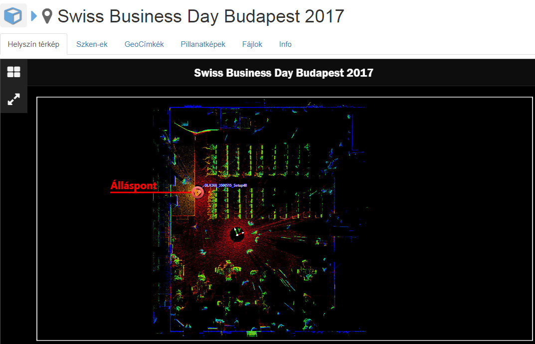
By clicking on the station of the laser scanner represented by a yellow triangle, the panoramic view can be accessed which were created by the cameras built in the scanner. However, it is not the simple, well-known panoramic view… …it is a lot more! In fact, the three-dimensional structure of the space is assigned to the pixels, which means that behind every pixel of this picture, there are three coordinates of the space (X, Y, Z). This makes it possible to perform measurements on the panoramic view with millimeter accuracy. Navigation, rotating and panning on the smart device and on computers can be performed in the usual way (left button on the mouse + movement: rotation; scroll wheel: zoom in/out).
Let’s see how we can measure in the virtual space:
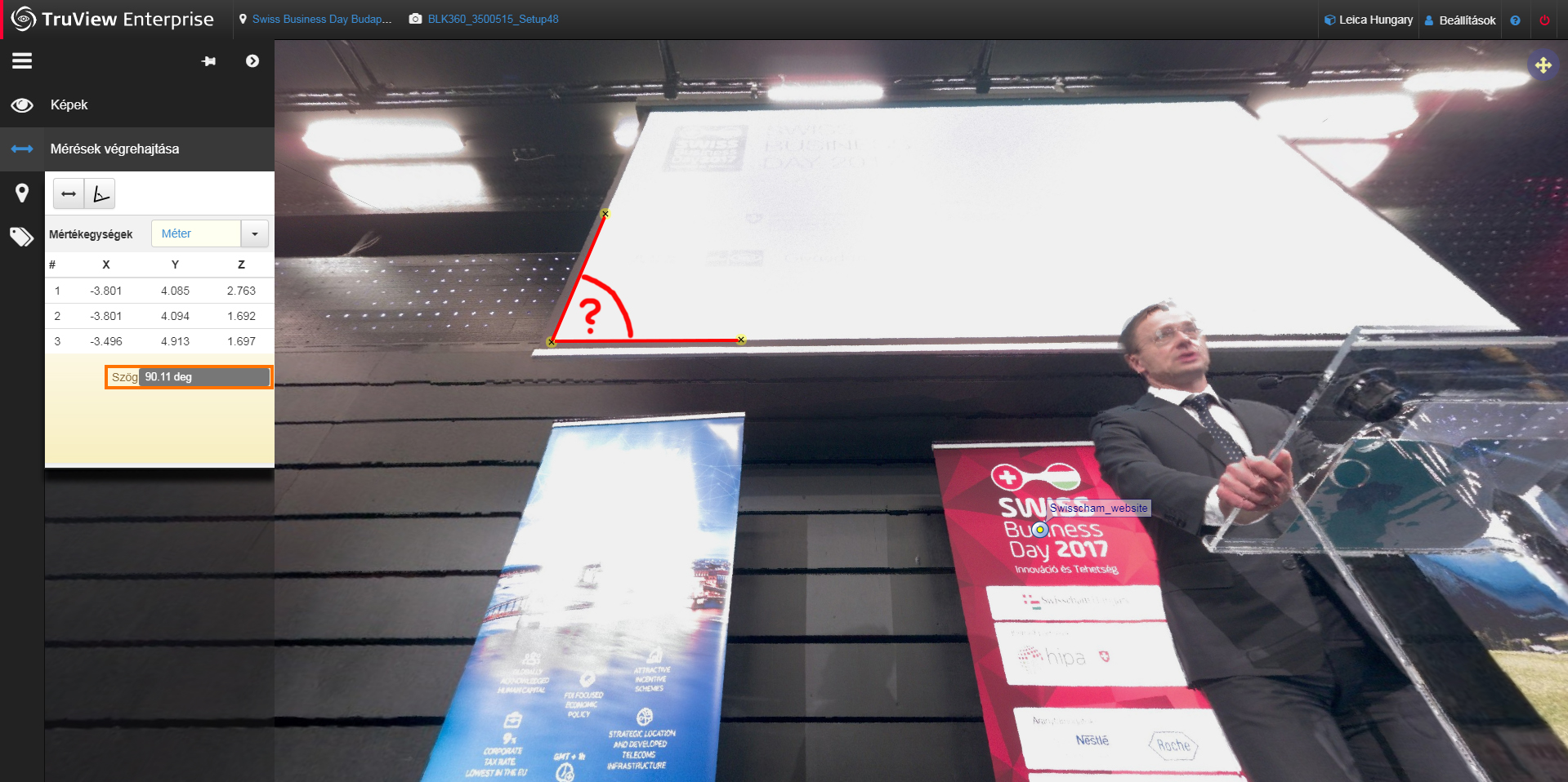
We can choose between distance or angle measurements in the left toolbar’s “Measurements” command (third one from the top).
After choosing the distance measurement tool, picking two pixels on the panoramic view is needed and from their 3D coordinates, the web-based software calculates the slope distance and its components projected onto the axes of the predefined coordinate system. But what does this really mean? It means that if we need the headroom, we do not have to choose two pixels on a vertical line because the software automatically calculates the vertical component (“Delta Z”):

By choosing the angle measurement tool, you can get a sense of the three dimensional content behind the panoramic view. Let’s navigate to the projector screen, choose three points in the right sequence and let’s measure the angle on the corner of the projector screen! In spite of the fact, that it looks like an acute-angle (about 70°) on the panoramic view due to the perspective distortions, in reality, it is an angle of a rectangle, consequently, it is 90°, a right angle. The results of the angle measurement also yield 90°, depending on the accuracy of the choice of the points. So, if we have a database like this, we can perform the survey of the entire room without having to visit the site phisically!
Another useful possibility is the use of GeoTags/HotLinks that can be added to the pixels. These make it possible to link data from external sources (pictures, videos, documents, websites) or even whole databases – and this way create a Building Information System (BIM).
Let’s click on the “Leica Geosystems exhibition stand” tag in the toolbar and the software navigates us to our exhibition stand! By clicking on the small tag in the panoramic view, a previously added photo of the stand pops up.

The publication of a spatial database like this has numerous opportunities. Surveying the location becomes possible from far off, both in space and time. This is the reason, why this innovative technology is widely used in design, in industrial plants, in crime scene investigations, and in courts as well.
If you want to learn more about this application and its possibilities, keep following us!

You must be logged in to post a comment.